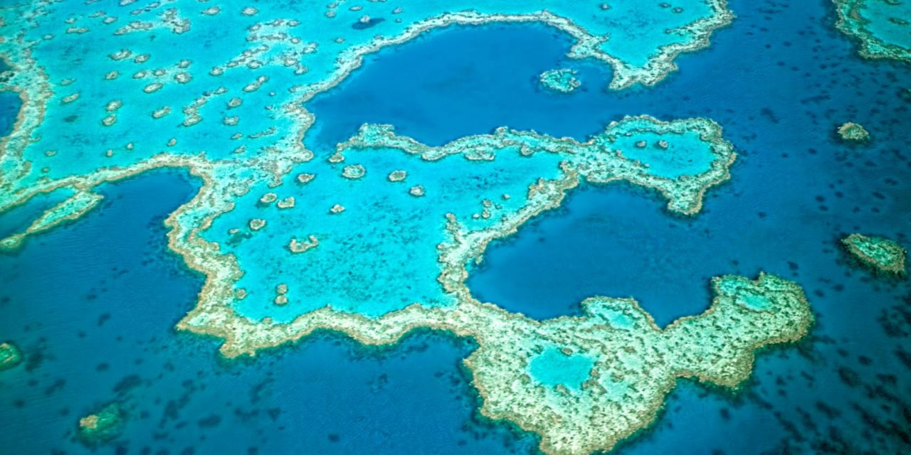
Overview of Particularly Sensitive Sea Areas
16.03.2018 The Republic of the Marshall Islands (RMI) issued a marine notice setting out the requirements for complying with IMO Particularly Sensitive Sea Areas (PSSAs). A PSSA is an area that has been provided special protection through action by the IMO because of its significance for recognized ecological, socio-economic or scientific attributes, and which may be vulnerable to damage by international maritime activities.
1.The Great Barrier Reef (MEPC 30, September 1990, Resolution MEPC.44(30))
-Mandatory ship reporting system (REEFREP)
-IMO-recommended Australian pilotage system
2. Torres Strait as an extension of the Great Barrier Reef (MEPC 53, July 2005 Resolution MEPC.133(53))
-Two-way shipping route through the Torres Strait
-IMO-recommended Australian pilotage system
3. South-west Coral Sea as am extension of the Great Barrier Reef and Torres Strait (MEPC 68, May 2015 Resolution MEPC.268(68))
-Two-way route in the Prince of Wales Channel
-Two-way route in Diamond Passage
-Two-way route to the West of Holmes Reef
-Area to be avoided north-east of the Great Barrier Reef, between Palm Passage and Hydrographers Passage
4. The Sabana-Camagüey Archipelago (MEPC 40, September 1997 Resolution MEPC.74(40))
-Traffic separation schemes off Costa de Matanzas, in the Old Bahama Channel, and the Punta Maternillos
-Discharge prohibition
-Area to be avoided in the access routes to the ports of Matanzas and Cardenas
5. Malpelo Island (MEPC 47, March 2002 Resolution MEPC.97(47))
-Area to be avoided around Malpelo Island
6. The sea around the Florida Keys (MEPC 47, March 2002 Resolution MEPC.97(47))
-Mandatory no anchoring areas in the Tortugas Ecological Reserve and the Tortugas Bank in the Florida Keys
-Areas to be avoided off the Florida coast
7. The Wadden Sea (MEPC 48, October 2002 Resolution MEPC.101(48))
-Existing protective measures, including but not limited to: mandatory ship reporting systems; deep water routes, traffic separation schemes, recommended and mandatory pilotage, MARPOL Special Area, and other national measures
8. Paracas National Reserve (MEPC 49, July 2003 Resolution MEPC.106(49))
-Area to be avoided (by ships > 200 gt carrying hydrocarbons in bulk)
-Traffic separation scheme in the approaches to Puerto Pisco
9. Western European Waters (MEPC 52, October 2004 Resolution MEPC.121(52))
-Ship reporting system for single-hull tankers carrying heavy grades of fuel oil
10. Canary Islands (MEPC 53, July 2005 Resolution MEPC.134(53))
-Mandatory ship reporting system (CANREP)
-Traffic separation schemes
-Five areas to be avoided off Lanzarote Island; off the island of Tenerife; off the island of Grand Canary; off La Palma island; and off the island of El Hierro
11. The Galapagos Archipelago (MEPC 53, July 2005 Resolution MEPC.135(53))
-Recommended tracks, mandatory as a condition of port entry
-Mandatory ship reporting system (GALREP)
-Area to be avoided
12. The Baltic Sea area (MEPC 53, July 2005 Resolution MEPC.136(53))
-Existing protective measures, including but not limited to: existing routing and pilotage systems; mandatory ship reporting systems; MARPOL Special Area; Emission Control Area
-Traffic separation scheme and associated routing measures in the South-west Baltic Sea
-Deep-water route of Gotland Island
-Areas to be avoided in the Southern Baltic Sea
13. The Papahānaumokuākea Marine National Monument (MEPC 57, April 2008 Resolution MEPC.171(57))
-Mandatory ship reporting system (CORAL SHIPREP)
-Six areas to be avoided
14. The Strait of Bonifacio (MEPC 62, July 2011 Resolution MEPC.226(64))
-Mandatory ship reporting system (BONIFREP)
-Routing Measures
-Recommendation on navigation through the Strait of Bonifacio
15. The Saba Bank (MEPC 64, October 2012 Resolution MEPC.226(64))
-Existing MARPOL Annex V Special Area
-Mandatory no anchoring area for all ships
-Area to be avoided (by ships 300 gt and over)
16. The Jomard Entrance (MEPC 70, July 2016 Resolution MEPC.283(70))
-Two-way route to the north of Jomard Entrance
-Three two-way routes to the south of Jomard Entrance
-Precautionary area that lies between the northern and southern two-way routes
17. Tubbataha Reefs Natural Park (MEPC 71, July 2017 Resolution MEPC.294(71))
-Area to be avoided (enters into force on 01 January 2018)
Source: www.safety4sea.com
